A snapshot of Mt. Muztagh Ata
 0 Comment(s)
 Print
Print E-mail China.org.cn, April 25, 2018
 Muztagh Ata (7,546m), or Muztagata, is the second highest of the mountains which form the northern edge of the Tibetan Plateau. It is sometimes regarded as being part of the Kunlun Shan, although physically it is more closely connected to the Pamir. It is also reputedly one of the easiest 7,000 m peaks in the world to climb, due to its gentle western slope and the comparatively drier weather of Xinjiang. [CHina.org.cn/Photo by Qi Jun]
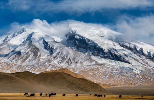

Go to Forum >>0 Comment(s)
No comments.


