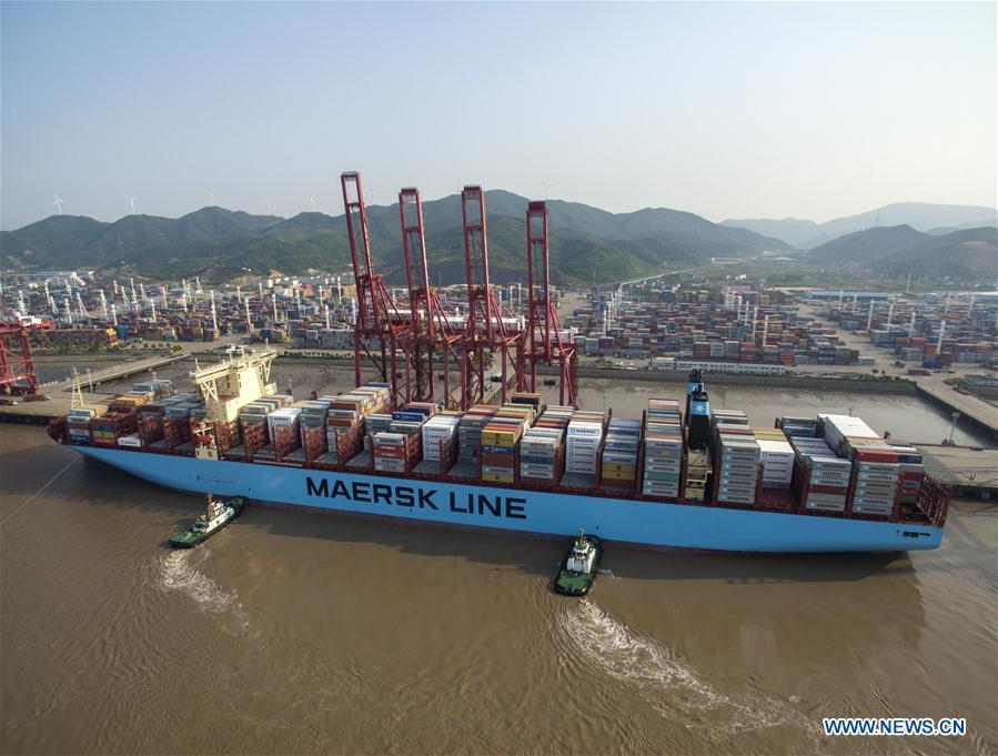
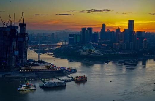
Aerial view of Yangtze River Economic Belt
 0 Comment(s)
 Print
Print E-mail Xinhua, October 17, 2017
Photo taken on May 9, 2017 shows a cargo ship at Ningbo Zhoushan Port in east China's Zhejiang Province. The Yangtze, the world's third-longest river, runs through nine Chinese provinces and two municipalities, covering 2.05 million square km. The Yangtze River Economic Belt, which accounts for more than 40 percent of both the national population and GDP, is a new growth engine for the country, reducing the development gap between east, central and western regions. (Xinhua/Huang Zongzhi)
Go to Forum >>0 Comment(s)
No comments.


