Located in the east of the Asian continent, on the western shore of the Pacific Ocean, the People's Republic of China has a land area of about 9.6 million sq km, and is the third-largest country in the world, next only to Russia and Canada.
From north to south, the territory of China stretches from the center of the Heilong River north of the town of Mohe to the Zengmu Reef at the southernmost tip of the Nansha Islands, covering a distance of 5,500 km. From east to west, the nation extends from the confluence of the Heilong and Wusuli rivers to the Pamirs, covering a distance of 5,200 km.
With a land boundary of some 22,800 km, China is bordered by Korea to the east; Mongolia to the north; Russia to the northeast; Kazakhstan, Kyrgyzstan and Tajikistan to the northwest; Afghanistan, Pakistan, India, Nepal and Bhutan to the west and southwest; and Myanmar, Laos and Vietnam to the south. Across the seas to the east and southeast are the Republic of Korea, Japan, the Philippines, Brunei, Malaysia and Indonesia.
China's mainland coastline measures approximately 18,000 km, with a flat topography, and many excellent docks and harbors, most of which are ice-free all year round. The Chinese mainland is flanked to the east and south by the Bohai, Yellow, East China and South China seas, with a total maritime area of 4.73 million sq km. The Bohai Sea is China's continental sea, while the Yellow, East China and South China seas are marginal seas of the Pacific Ocean.
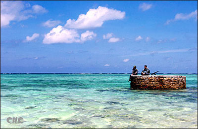 |
A total of 5,400 islands dot China's territorial waters. The largest of these, with an area of about 36,000 sq km, is Taiwan, followed by Hainan with an area of 34,000 sq km. The Diaoyu and Chiwei islands, located to the northeast of Taiwan Island, are China's easternmost islands. The many islands, islets, reefs and shoals in the South China Sea, known collectively as the South China Sea Islands, are China's southernmost island group. They are called the Dongsha (East Sandbar), Xisha (West Sandbar), Zhongsha (Middle Sandbar) and Nansha (South Sandbar) island groups according to their geographical locations.
